Clyth Ness
Clyth Ness lighthouse
photos: © Ian Cowe

East Coast

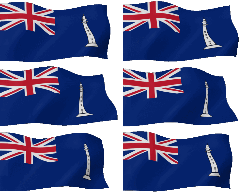
Commissioners' Flag of the NLB
In Salutem Omnium
For the Safety of All
Vlag NLB
Ensign of the NLB
Lighthouse Map Nightview Map
- Standard
+ Radar Beacon
+ AIS
- Discontinued

East Coast Barns Ness Bass Rock Bell Rock Buchan Ness Buddon Ness Chanonry Clyth Ness Covesea Skerry Cromarty Elie Ness Fidra Fife Ness Girdle Ness Inchkeith Isle of May Kinnaird Head Noss Head Oxcars Rattray Scurdie Ness St Abbs Head Tarbat Ness Tod Head
North Coast Southwest Coast West Coast Inner Hebrides Outer Hebrides Orkney Islands Shetland Islands Isle of Man
NLB Stevensons Technics Useful Links
Account
Update: 01-09-2024
Compiled by:
@ Bob Schrage

Dutch Lights
Barns Ness
Bass Rock
Bell Rock
Buchan Ness
Buddon Ness
Chanonry
Clyth Ness
Covesea Skerry
Cromarty
Elie Ness
Fidra
Fife Ness
Girdle Ness
Inchkeith
Isle of May
Kinnaird Head
Noss Head
Oxcars
Rattray
Scurdie Ness
St Abbs Head
Tarbat Ness
Tod Head

Place of the lighthouse

The lighthouse, located between the Tarbat Ness lighthouse to the south and the Noss Head lighthouse to the north. Situated about 3 miles northeast of Lybstere coast road A99, located on a cliff about 45 meters high with an almost vertical abyss.

The Lighthouse

Unfortunately, little is known about this lighthouse. What we do know is that the lighthouse was built by David A Stevenson in 1916 and was intended as an additional guide for warships during World War I between Tarbat Ness and Noss Lighthouse.

Clyth Ness Lighthouse

The lighthouse consists of a 3-storey but relatively short tower (12 meter), with a simple railing and a lantern with a single layer of triangular panes. The tower is separate from the other buildings on the site, white painted with a single red horizontal band ('cummerband').

The entire construction of the buildings has been constructed as economically as possible to accompany the ships of the Royal Naval. For example, the simple keepers houses have a flat roof. This construction method may have been chosen as it was a "temporary" solution during the war. The fluted sundial was a 'Northern Lighthouse Board' standard

The keepers house has been private residence since automation in 1964. The light was turned off on March 18, 2010 following a review of aids to navigation. The lantern itself was removed about 2015.

Clyth Ness


A3524(ex)

Character: (discont., Fl(2) W 30s.)

Clyth Ness map
Engineer : David Alan Stevenson (1854-1938)
Contractor : ---
Constructed : 1916
Init. Costs : £ ---
Function : ---

Position (Lat, Lon): 58°18.568' N, 003°12.728' W

Original Optics: ---
Manufacturer : ---
Date First Lit : 1916

Current Optics : ---
: ---
Manufacturer : ---
Date First Lit : ---
Light Character: Flasing(2) White every 30 secs
Light Range : 18 NM ~ 33.3 km
Light Height : 45 meters above sea level
Light Intensity: ---
Sector(s) : ---

Tower Height : 12 meters
Basic form : ---
Material : ---

Electrified : ---
Automated : 1964
Last Keepers : PLK - ---
: ALK - ---
: ALK - ---
Fog Signal : No
: ---
AIS : ---
RACON : ---

Status : Discontinued March 18, 2010
Authority : ---
Monument : ---
Remarks : ---

Adress : Caithness
: KW3 6BA Lybster
Website (local): ---

Clyth Ness lighthouse
Lighthouse aera from the south

Clyth Ness lighthouse
Lighthouse aera from the north

References:
xxxxx- xxxx